
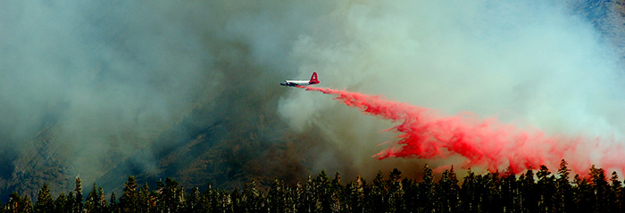
A new study has developed a mapping tool that may be used in the future to help crews fighting wildfires map the most efficient escape routes. Author Michael Campbell is a doctoral student with co-author Phil Dennison, Department of Geography professor and GCSC faculty affiliate. Read more about how crews currently determine routes and how the mapping tool was developed at this link.